- Home
- Competences
- UAV (Drones)
UAV & Drones Software Systems

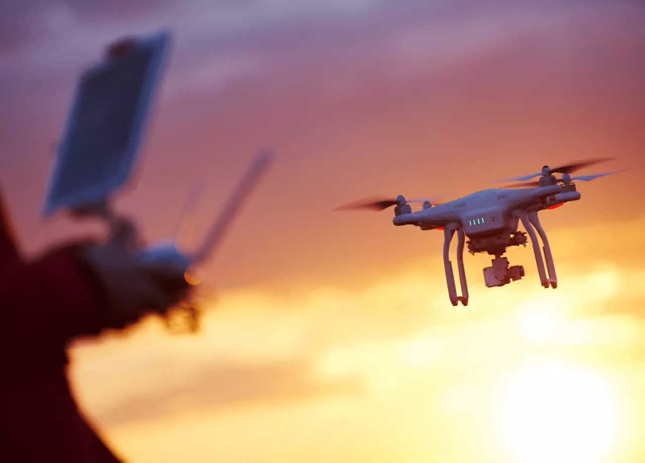
Leverage our expertise to develop software systems and applications for UAV / drones, as well as drone imagery data processing and insights.
UAVs / drones have become vital tools for companies in energy, government, construction, and even entertainment to discover new areas, monitor existing infrastructure, and provide real-time insights. Many other operators in agriculture, critical infrastructure, railway and road networks leverage geospatial data for ongoing maintenance, planning and optimization.
Intetics can help assure your efficiency extends above the ground into the air with custom solutions, data processing, custom mission planners, geoportals for sharing imagery with customers and others, and much more.
Case Studies 
White Papers and Publications

Download Case Study
All fields are required
To get the full version, please fill out the form with your contact details for registration:
Let’s start talking!
All fields are required

